








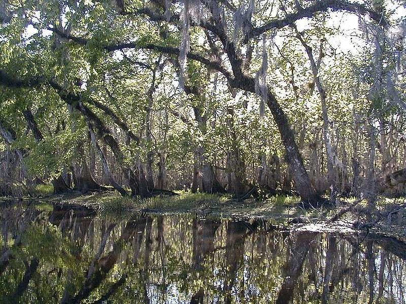
The St. Johns River has risen above a record set in 1953 near Cocoa, and forecasters expect it to stay flooded through early next week, as days of torrential rain drain slowly into Florida’s longest river. The National Weather Service warned the water would keep rising for several more days, even though the rain itself was easing.
The city of Rockledge advised residents on its flood-prone west side to be ready to leave while it was still safe. A few thousand people in the area could face flooding as the rain drains into the river and its lakes, meteorologists in Melbourne said. “We’re so concerned with the Saint Johns River,” said Will Ulrich, a warning coordination meteorologist. “This is just an incredible amount of water that will cause the river to continue to rise for the next several days.”
More than 17 inches (43 centimetres) of rain has fallen on parts of Florida’s Atlantic coast since Tuesday, with totals above 24 inches in places near Cocoa Beach, according to the weather service. Several places have already recorded their wettest November on record. Flood warnings and watches cover roughly 200 miles (320 kilometres) from just south of Melbourne to the Jacksonville area, and forecasters said up to six more inches could fall through Saturday, with some areas seeing as much as a foot.
Hundreds of emergency workers have been responding along the coast. In Brevard County, authorities carried out nearly 100 high-water rescues on Thursday, navigating flooded streets by airboat. In Edgewater, police waded through knee-deep water on Friday pulling a small boat of people to dry ground. Florida’s governor, Ron DeSantis, has mobilised hundreds of National Guard members and other first responders, with state teams conducting nearly 200 rescues in total.
The flooding is also disrupting Thanksgiving plans. Sara Hernandez, who owns a cleaning business, had just decorated her house and bought groceries for the holiday when water rose to her front and back doors on Thursday morning; by Friday, a couple of inches had seeped inside. “I have never ever seen this much water in the 25 years I’ve been in Florida,” she said. “It’s never flooded here.”
The low-pressure system behind the rain is expected to move north-east and affect the coasts of Georgia and the Carolinas over the weekend. A second Atlantic system could then become a subtropical or tropical storm, bringing strong winds, dangerous surf and coastal flooding to the south-east and mid-Atlantic coasts into early next week, and forecasters are tracking a possible third system that could bring impacts on Wednesday and Thanksgiving Day.
The storms have been fuelled by persistent high pressure over Virginia and a low-pressure system with a stationary front in the Gulf, which together have pushed a steady onshore flow across the Florida peninsula. They are an offshoot of El Nino, the natural warming of the Pacific near the equator that warps weather patterns worldwide. With soils saturated ahead of what is supposed to be Florida’s dry season, the weather service warned that flood impacts along the slow-flowing St. Johns could stretch into the new year — and into 2027.
The same weather pattern also swamped parts of California this week, closing a long stretch of the coastal Highway 1 after rock and mud slides. Two people were found dead on Friday in Chino after heavy rain, according to the San Bernardino County Sheriff’s Department.
Sources: Associated Press (https://www.wptf.com/2026/11/21/storms-deluging-florida-with-historic-flooding-shift-further-north/); National Weather Service; Fox Weather (https://www.foxweather.com/weather-news/florida-rare-flood-threat-heavy-rain-slams-region).