









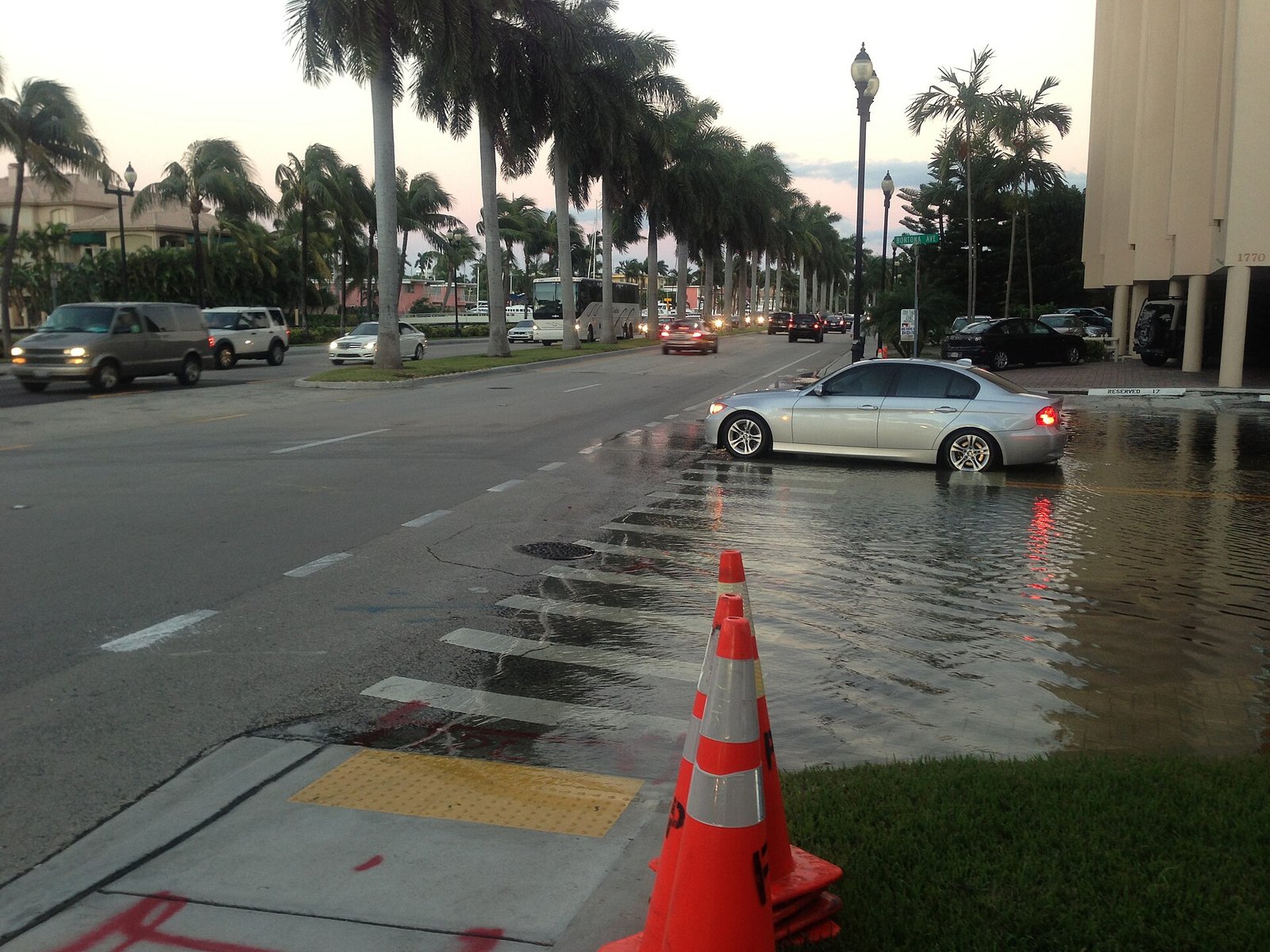
Torrential rain dumped more than 15 inches on parts of south-east Florida overnight, flooding roads and homes, closing schools and forcing high-water rescues across Broward County.
The National Weather Service in Miami recorded 15.3 inches of rain near Plantation in 24 hours, with 13.7 inches near North Perry Airport and 10.4 inches in Hollywood. In the worst-hit areas, rain fell at more than five inches an hour. Fort Lauderdale has now had its wettest November on record, with 15.18 inches so far this month.
Broward County declared a local state of emergency on Wednesday morning, closing all government offices, libraries and parks and telling non-essential staff to stay home. Hollywood’s mayor, Josh Levy, also declared an emergency and urged residents to shelter in place, while Fort Lauderdale declared its own emergency. Hollywood police said first responders received more than 300 calls for service between 11pm on Tuesday and 4am on Wednesday.
The deluge caused the roof of Temple Sinai in Hollywood to collapse under the weight of the rain. Police said nobody was inside and no injuries were reported. Sections of Interstate 95 and Florida’s Turnpike were closed by floodwater and stalled cars, and Fort Lauderdale-Hollywood International Airport imposed a brief ground stop, with more than 100 flights delayed.
All Broward County public schools were closed on Wednesday and will remain closed on Thursday, the school district said. Several university campuses also shut.
The threat is far from over. A flood watch remains in effect for south-east Florida through Thursday evening, with the National Weather Service warning of a further two to four inches of rain and isolated totals of six to eight inches. Florida’s Atlantic coast faces three consecutive days at Level 3 out of 4 flood risk through Friday, with eight to 12 inches or more possible in some areas.
Forecasters are also watching a developing coastal storm that could bring heavy rain and strong winds further up the East Coast early next week, just as millions of Americans begin travelling for Thanksgiving.
Further north, the St Johns River near Cocoa is forecast to reach 17.2 feet by early Friday, the level at which forecasters warn water enters homes in several Brevard County neighbourhoods, and to approach its flood of record by Saturday.
It is the second major flooding episode to hit Florida this month, after a deluge earlier in November swamped the Space Coast with two feet of rain.
Sources: CNN (https://www.cnn.com/2026/11/18/weather/florida-flooding-rain-storm-thanksgiving-travel-climate), USA Today (https://www.usatoday.com/story/news/state/florida/2026/11/18/broward-county-school-closures-flooding/92840651007/), National Weather Service Miami (https://forecast.weather.gov/showsigwx.php?warnzone=FLZ173&warncounty=FLC086&firewxzone=FLZ173&local_place1=2%20Miles%20S%20Miami%20Beach%20FL&product1=Flood+Watch&lat=25.7914&lon=-80.1367), Florida Today (https://www.floridatoday.com/story/weather/2026/11/18/florida-rain-causing-flooding-radar-forecast--live/92840050007/)