









Cyclone Murasu strengthened into a severe cyclonic storm in the early hours of Monday, the India Meteorological Department (IMD) said, as it bore down on India’s Andhra Pradesh coast. In its 5 a.m. bulletin on 2 November, the IMD placed the storm about 330 kilometres south-east of Ongole, 290 kilometres east-south-east of Nellore and 260 kilometres east-north-east of Chennai, moving north-west at about 20 km/h with winds of 90 to 100 km/h gusting to 110 km/h.
The storm is forecast to cross the south Andhra Pradesh coast close to Ongole, between Nellore and Narsapur, between 11.30 p.m. on Monday and 4 a.m. on Tuesday as a severe cyclonic storm, with sustained winds of 100 to 110 km/h gusting to 120 km/h. The crossing point has now been narrowed to the Ongole area, after earlier bulletins gave only the wider Nellore to Narsapur stretch.
The IMD forecasts a storm surge of 1 to 1.5 metres above the astronomical tide at landfall, very likely to flood low-lying areas of south coastal Andhra Pradesh, with the highest surge expected in Bapatla and also in Krishna and Prakasam districts. Along the Andhra coast, winds are expected to reach 65 to 75 km/h by noon on Monday, 80 to 90 km/h from the evening, and 100 to 110 km/h from midnight until the early hours of Tuesday.
The IMD has raised its warning to a cyclone warning with a red message for the Andhra Pradesh and adjoining north Tamil Nadu coasts, the third of its four warning stages. Red alerts cover Krishna, Guntur, Bapatla, Prakasam and Nellore districts, with extremely heavy rain expected, and schools have been closed in Chennai and Tiruvallur in Tamil Nadu and in parts of Andhra Pradesh and Odisha. Fishermen have been advised to stay off the Andhra Pradesh coast until the afternoon of 4 November, and disaster response teams have been positioned in the districts in the storm’s path.
After landfall the storm is forecast to weaken, becoming a cyclonic storm by 11.30 a.m. on Tuesday and a depression by 11.30 a.m. on Wednesday as it moves inland, though heavy rain is expected to continue over coastal Andhra Pradesh, Telangana and Rayalaseema. These timings, wind speeds and surge heights are forecasts from the IMD, not events that have already happened, and they may change in later bulletins.
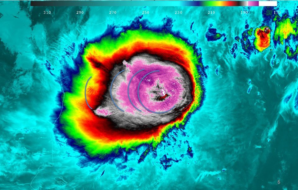
Note: the featured image is a file photo of Cyclone Mahasen over the Bay of Bengal in 2013, not a photograph of Cyclone Murasu.
Sources: India Meteorological Department, National Bulletin No. 11 (5 a.m., 2 November 2026), as reported by TransClew, “Cyclone Murasu live updates: severe cyclone heads for Ongole”, https://transclew.com/news/cyclone-murasu-andhra-live-updates/ ; CareerIndia, “Cyclone Murasu 2026: Landfall Timing, Red Alerts, And School Closures In Andhra And Tamil Nadu”, https://www.careerindia.com/features/cyclone-murasu-2026-landfall-timing-red-alerts-school-closures-andhra-tamil-nadu-011-67993.html